HOME
TDOT PLUS
TDOT GREEN
COMPANY
CONTACT
HOME
TDOT PLUS
TDOT GREEN
COMPANY
CONTACT
TDOT GREEN
Overview
Validation at sea
Validation at river
Validation at weir
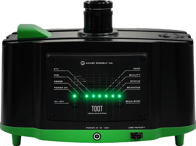
Drone-mounted, green LiDAR system [TDOT GREEN]
December 9, 2018
Validation at weir
Validation contents
Acquisition of data at various altitudes under a quiet watershed environment.
Inspection result
Altitude 50 m: Acquired all riverbed topography with a depth of about 3.4 m.
Altitude 100 m: Acquired all riverbed topography with a depth of about 3.4 m.
Altitude 150 m: Acquired riverbed topography data to a depth of about 2.5 m.
Acquired the data in a wider measurement range as altitude increases.
Expansion of river parts
Extent of data acquisition by altitude:Bird's eye view.