HOME
TDOT PLUS
TDOT GREEN
COMPANY
CONTACT
HOME
TDOT PLUS
TDOT GREEN
COMPANY
CONTACT
TDOT GREEN
Overview
Validation at sea
Validation at river
Validation at weir
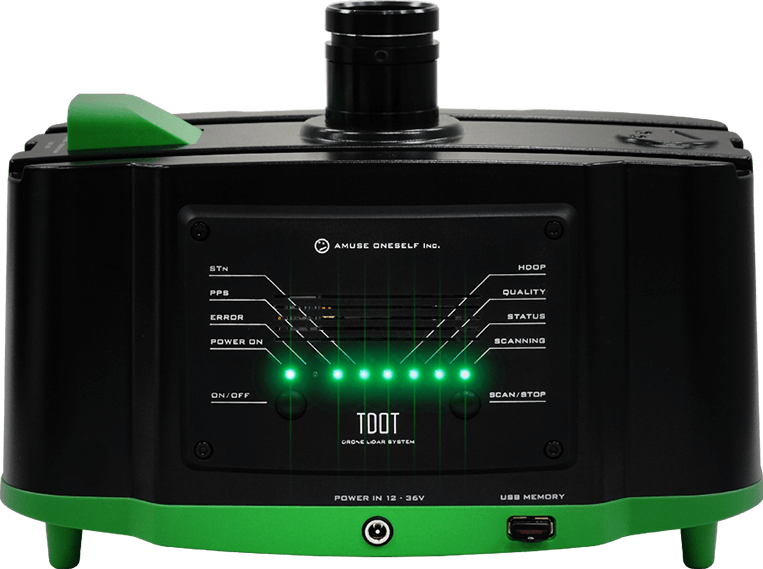
Drone-mounted, green LiDAR system [TDOT GREEN]
November 17, 2018
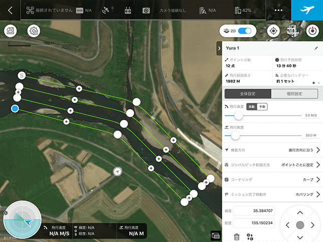
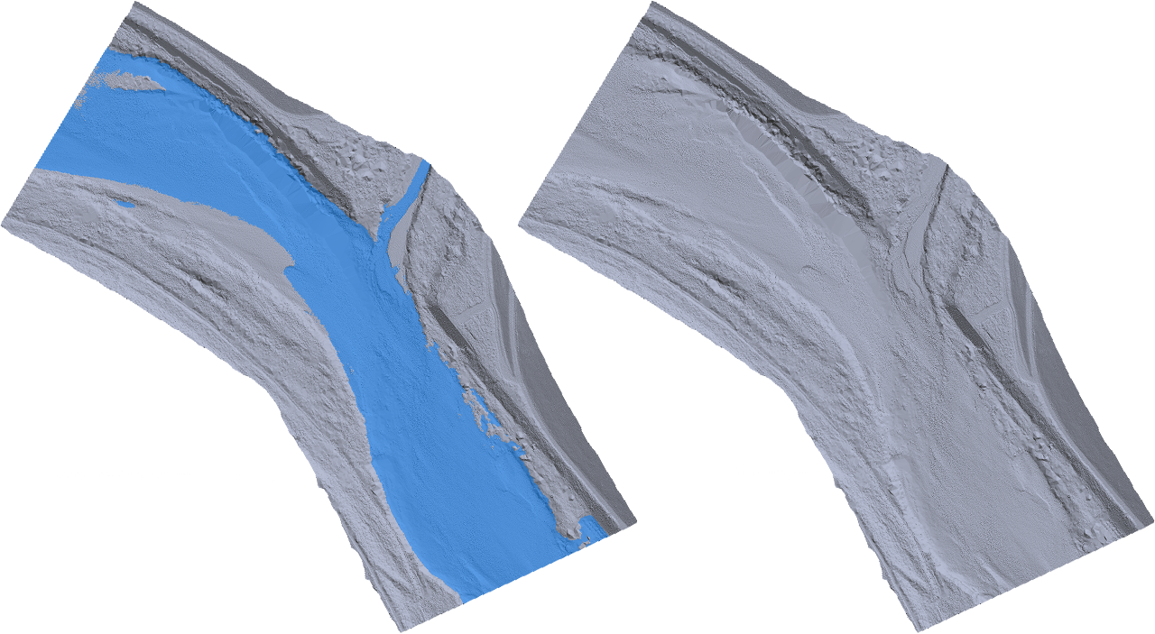
Validation at river
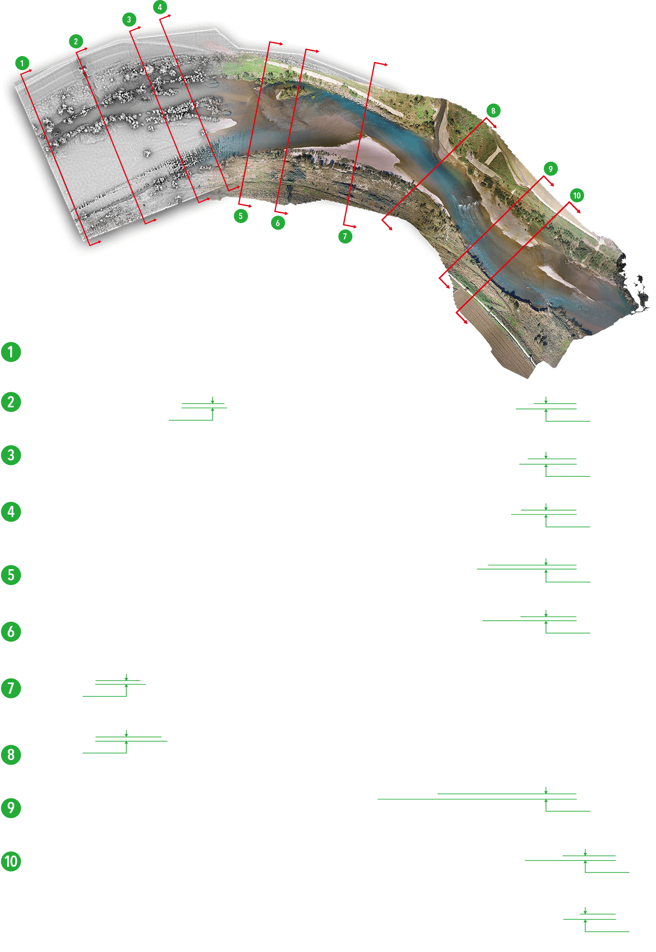
Validation contents
Confirm the river channel topography within the river area.
Confirm the topographic reproducibility of the beds along the ebb-water route and of the embankment shape.
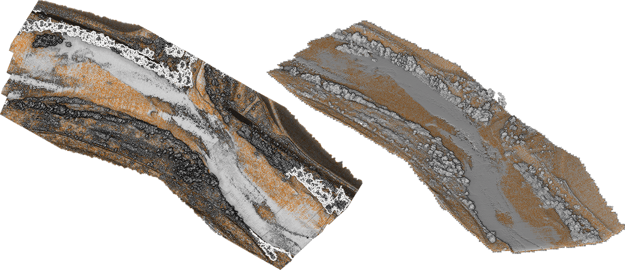
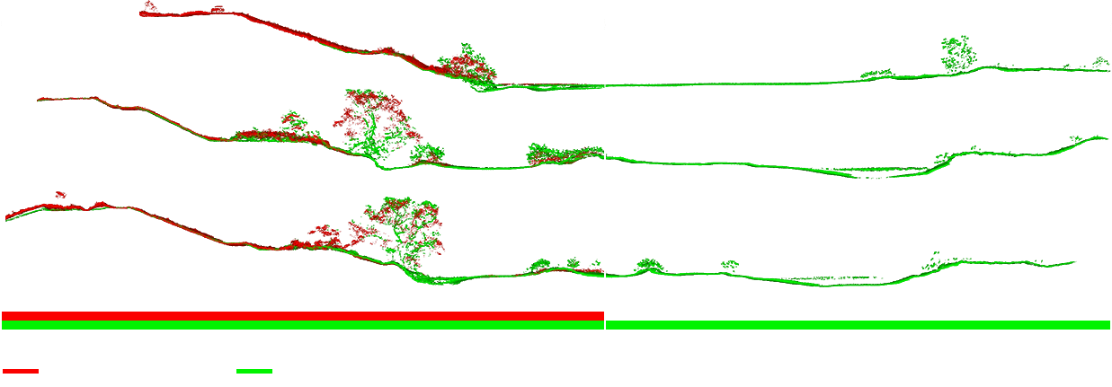
Inspection result
Topographical reproducibility of the land portion goes toe-to-toe with near-infrared laser (TDOT PLUS).
More detailed water topography reproducibility compared to the advanced aerial laser sounding (ALB) .
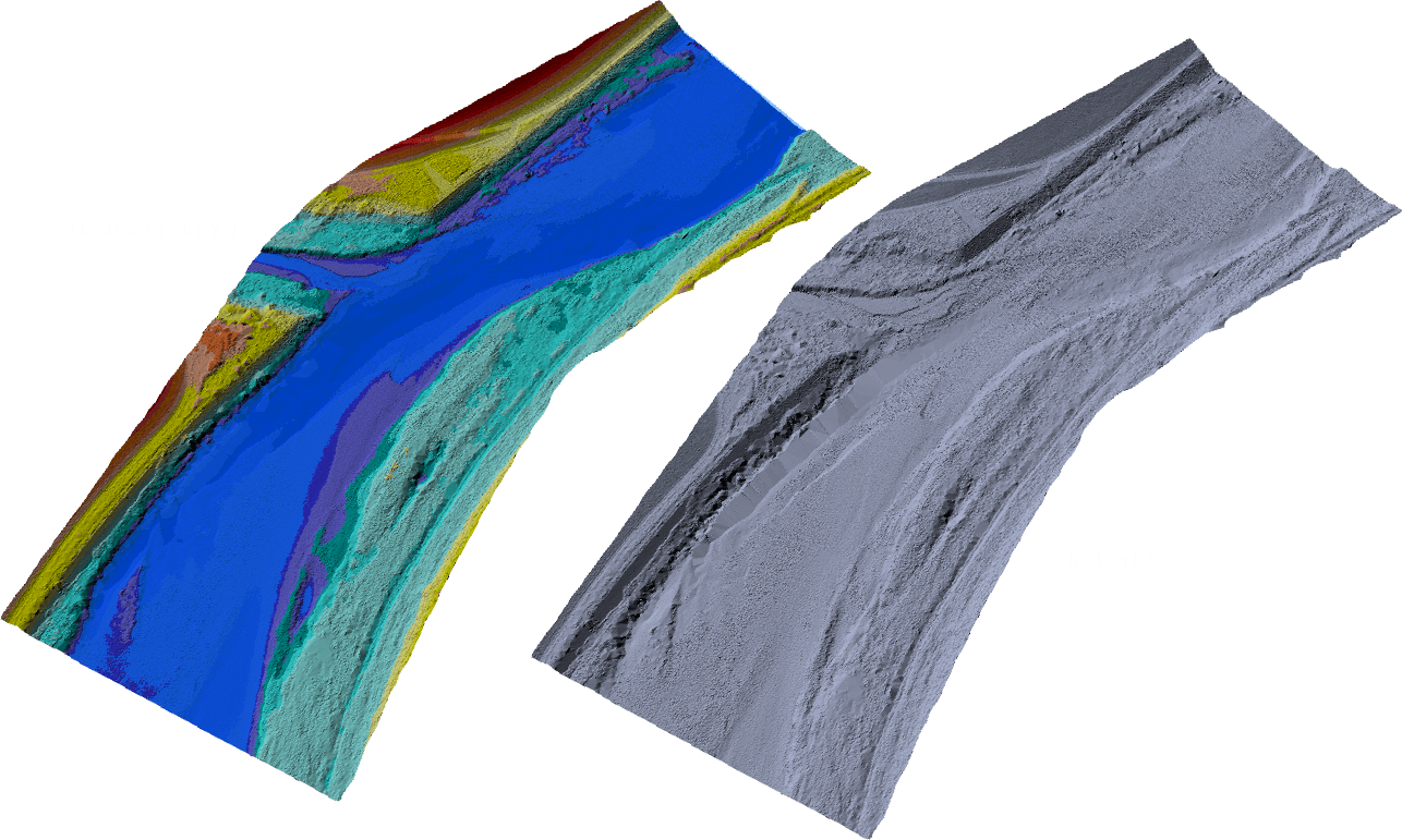
The swift current of the river (Survey line No. 5), depth of water 0.69 m.
Curved scour depth section (Survey line No. 2, and 7), depth of water 1.94 m, 1.83 m.
Tributary Junction part (Survey line No. 8), depth of water 1.33 m.
Confirm the water bottom topography in various sections such as shallow waters, abysses, scouring places, branch joining places, etc.