![]()
![]()
At the "Onshore / Underwater Laser Drone" of the "Innovative River Management Project", we confirmed the effectiveness for practical application by conducting a demonstration experiment with Pasco Co., Ltd. on the drone mounted near infrared laser scanner as an intermediate verification.
The accuracy verification by the drone mounted near infrared laser scanner was carried out by comparing the survey result of the verification point by the total station and the survey result by the drone mounted near infrared laser scanner.
As a result, it was confirmed that the mean square error of the elevation value was 24 mm and the maximum disparity was 46 mm, both of which can be measured with an accuracy within ± 50 mm, and together with the required specifications for the land laser of the “Innovative River Project” standards for ITC civil engineering It meets the accuracy verification criteria value indicated by one “Imaging Management Procedure (Earthwork Compilation) using aerial photogrammetry (unmanned aerial plane) (draft)” (Ministry of Land, Infrastructure, Transport and Tourism, March 2007).

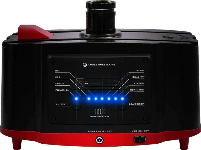
| Laser scanner | TDOT PLUS |
|---|---|
| Drone | DJI Matrice 600 Pro |
| Validation point | 12 points |
|---|---|
| Measurement origin | Height 50m, Speed 2.0m/s |
| Average value | 0.010m |
| Maximum disparity | -0.046m |
| Standard deviation | 0.022m |
| Mean square error | 0.024m |
*It is the result of the pitch event and does not guarantee the accuracy
Altitude precision is less than the expected accuracy based on equipment performance and it is less than 0.05 m at the measurement of the ground altitude of 80 m or less


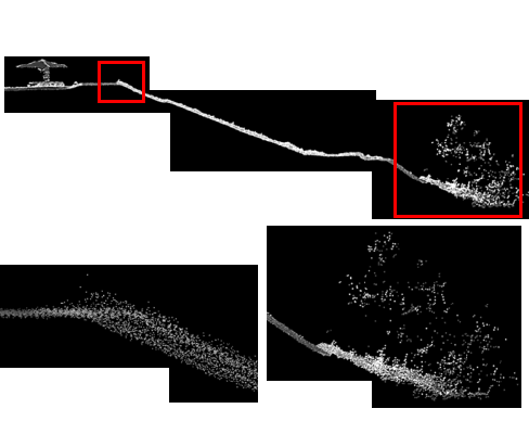
Confirmed the laser access in two trial seasons, held in April and September, along the embankment (artificial grassland). Vegetation included Vines, Phragmites, Humulus japonicus, Willowes, and Mulberry in the test area.
This cover is commonly seen in river landscapes.

The degree of laser reach beneath the tree canopy differs with vegetation species and season. In the state before embryogenesis, we confirmed that at least 20% of the laser reached the main riverwater/ border vegetation area.

The altitude accuracy of the ground arrival data differs depending on the type of vegetation. The ground altitude is acquired at 0.2 m or less of the mean square error by measurement before the embryo period (April). In the blooming season (September), the arrival to the ground is poor, and for tree species with a wide leaf shape, the mean square error of the altitude area is about 0.5 m.